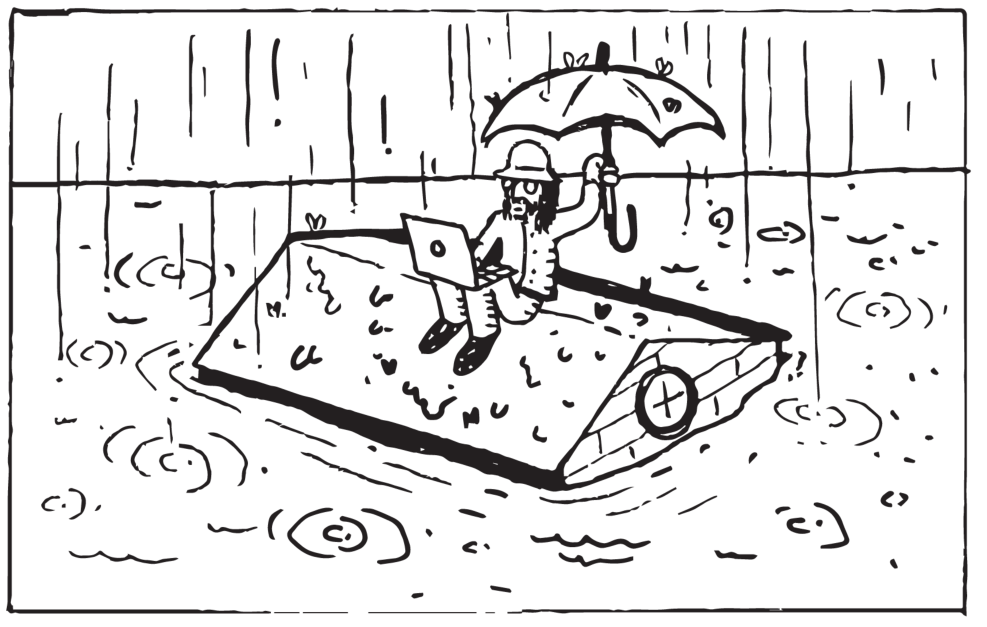
Looks like it’s rain season.
On Monday, CTV News reported on a unique weather pattern reaching from China to the B.C. south coast. An “atmospheric river” is a narrow corridor of concentrated vapour in the atmosphere. This one will dump a massive amount of water as it passes over the Fraser Valley.
So I wondered, what if it started raining and didn’t stop? The Fraser Valley has flooded before, and East Abbotsford / West Chilliwack used to be a lake. Fortunately there’s a website that lets you look at any part of the globe and view where new coast line would sit based on how much the ocean rises.
If the ocean rose 10 metres, most of the Fraser Valley would remain dry. Other than the Sumas Prairie turning back into a lake, and the Fraser River widening, not much would change. This isn’t to say that localized flooding wouldn’t have an impact, only that an ocean level increase of 10 meters on its own wouldn’t flood Abbotsford.
For the most part, West Abbotsford doesn’t need to worry about ocean levels until 50-odd metres. Even then, UFV would only have to worry about what it’ll do with its beautiful beachfront property. Not until 80 metres will virtually all of Abbotsford will be underwater. But I’m not worried; if we keep the levels below 60 metres, I can kayak to school.
Assuming the ocean wont rise 80 meters anytime soon, what’s the worst that could actually happen?
According to Environment and Climate Change Canada, one third of the entire lower Fraser Valley floodplain has been under several metres of water in the past. The largest Fraser River flood on record happened in 1894, though not much data on it exists. The second largest Fraser River Flood happened June 10, 1948. Over a dozen dyking systems were breached and more than 22,000 hectares of the Fraser Valley floodplain sat nearly eight metres under water.
In the days leading up to June 19, 2013, Alberta experienced the worst flood in its history (according to the provincial government). Five people were confirmed to have died directly from the flooding, and over 100,000 people were displaced throughout the region.
On June 21, the Bow River in Calgary reached a record high water level of 4.09 m and record flow rate of 1,750 m3/s. Calgary’s downtown core was without power for days, and the central business district remained inaccessible for a week.
What would you do if the river rose again? At only seven metres above sea level, the Trans Canada Highway will be flooded from Sumas to Chilliwack River. Could maybe drive west? Sure, towards the ocean and sea of people — not likely. Towards the south? Probably safer to tread water for a few weeks. If the Fraser floods, we’re saying put.
Neither the provincial or federal governments have a dedicated emergency service to deploy in the event of a disaster of that magnitude, according to Laurie Pearce, member of the Disaster Psychosocial Services Council of B.C., who spoke to Vice.
Pearce went on to say that if the Canadian military is quite small, and Canada doesn’t have a National Guard or FEMA, like the United States. If aid was needed, the military would have to be deployed from Alberta. Assuming the Abbotsford airport tarmacs were still intact, they’d land here.
The Red Cross and Salvation army would help, too, but their resources and volunteer numbers aren’t great enough to help everyone in need.
Don’t expect to call 9-1-1 or for any services to be running. Almost all of the conveniences you’re accustomed to won’t be operating. Hopefully there will be room in hospitals, and hopefully you can actually get to one. Your own your own.
“The government will not be there to help you. It just cannot be there,” Pearce told Vice.
It sounds like the Fraser Valley will have itself backed into a corner, if disaster strikes. At least you’ve got these great back covers of The Cascade to keep your mind off the 37 per cent chance of witnessing “the big one” in the next 50 years. We’re just beating back that old sense of impending doom, one back cover at a time.
 Illustration by Caleb Campbell


