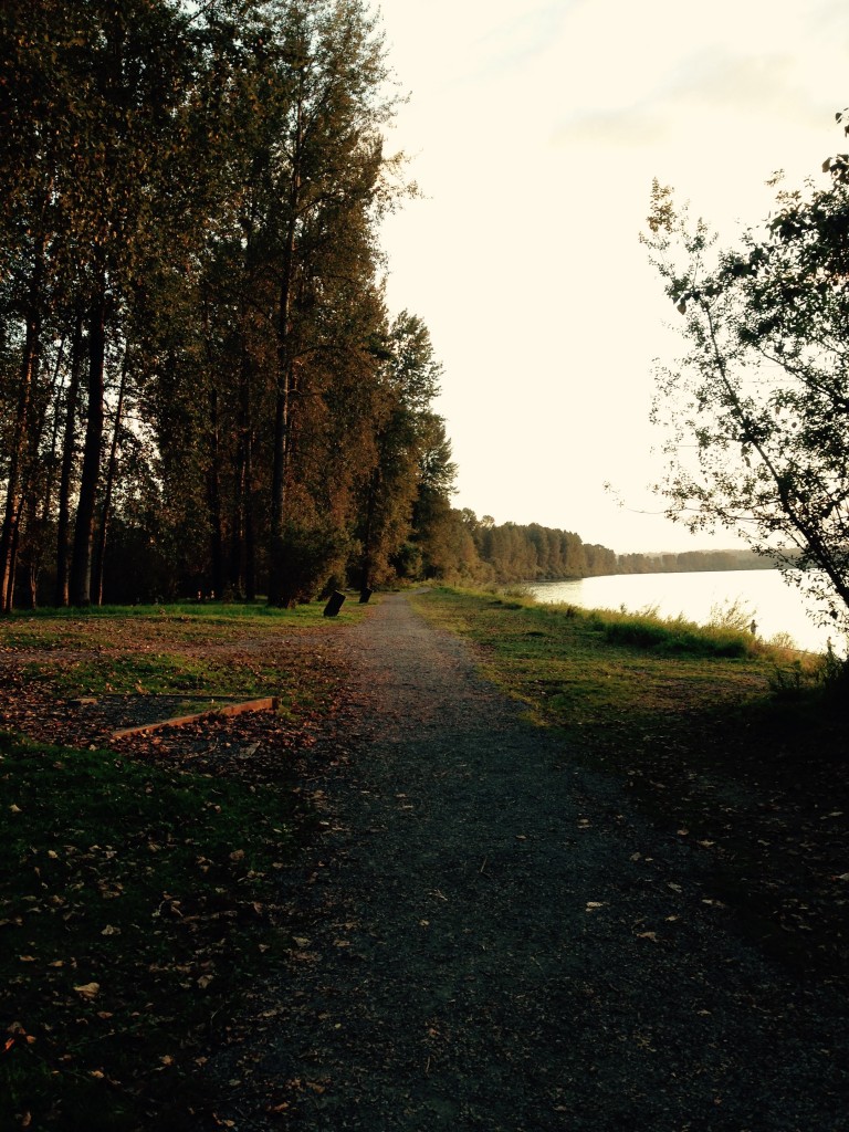
If you need a dose of Mother Nature and Mill Lake isn’t cuting it, try the Matsqui Trail. It’s far enough from the city centre that it isn’t an easy spot to get to if you don’t have a car or a bike — but that just means there are fewer people, more wildlife, and a peaceful stillness that’s rare to find on most municipal trails.
The trail curves along the strong brown arm of the Fraser River, nestled between Abbotsford and Mission. Its flat, winding path is perfect for cyclists, pedestrians, or dog-walkers who aren’t looking to work up a sweat — but even if it were a steep hike, it would be worth it for the beautiful vistas of the Fraser River and the Matsqui prairie. Much of the trail runs along a steep gravel dike that overlooks the river on one side and a postcard-perfect patchwork of rolling green farmland on the other, framed on all sides by distant mountains.
The trail is broken into four segments: Page Road to Olund Trailhead, 13.6 km; Page Road to Mission Bridge, 6.5 km; Mission Bridge to Gladwin Pond, 1.1 km; and Gladwin Pond to Olund Trailhead, 5.5 km. The full trail takes hours to explore, but it’s worth visiting the area even just for the short one-km segment between Mission Bridge and Gladwin Road. The path there is framed by thick blackberry brambles — some with ripe berries still attached — and tall deciduous trees which turn red and gold over the next few weeks as autumn settles in.
Although there are several points of access along the trail, Matsqui Trail Regional Park, just north of the village of Matsqui, is the easiest and most obvious one. It sits in the shadow of the Highway 10 overpass between Abbotsford and Mission, but as long as you don’t mind the distant rumble of cars high above you, it’s a peaceful place to sit on the beach and dip your feet in the water, take in a stunning sunset, or, if you have the right licenses, even fish for the Fraser’s famed trout, salmon, and sturgeon. The park also offers amenities such as outhouses, picnic benches, fire pits, and a map of the area — a good place to start if you’re planning to hike the whole trail.


